Back to My Pictures / Mes Photos.
June 2003 Paragliding Road Trip
- a story in pictures -
Lake Tahoe area + Hat
Creek Rim + Potato Hill
by Jérôme Daoust , revised 2004/1/1
Overdue for a paragliding vacation, I planned a trip starting with the sites around Lake Tahoe. Jason Gilbert gave me the good idea to visit this area. Here is the story in pictures (higher resolution available)…
Day 1. Pick up my friend Bob Barry in Oceanside and drive to the South shore of Lake Tahoe by following highway 395. Scenic 8 hour drive.
Day 2. Slide Mountain. We join with John Van Meter of WingTrip. This guy is unbelievably nice, just wanting to show us his local sites.
Will Neelands is enjoying his first thermal flight on his new Artax. The guy has to be a natural.
Bob Barry over the top of the mountain. A little more height and we could have landed behind in the meadow.
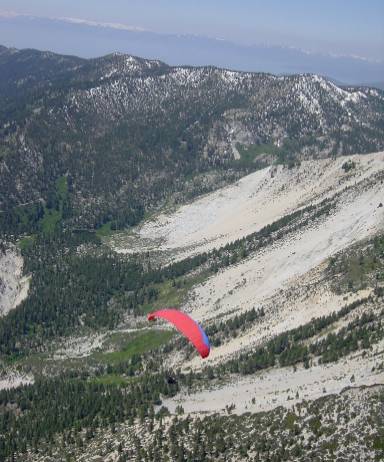
This is why they call it Slide Mountain (sliding rock faces). Lake Tahoe appears in the background.
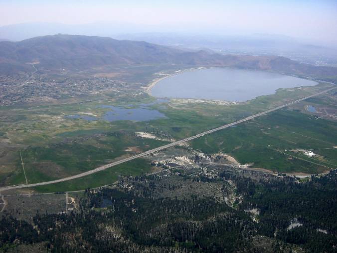
Washoe Lake in the valley in front.
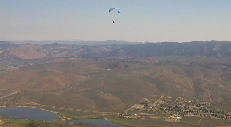
Myself on glide over the valley.
The LZ is next to highway 395.
Same day, new site : Daydreams.
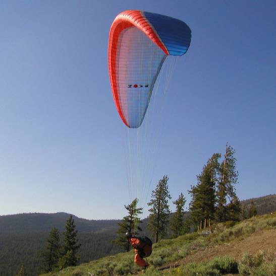
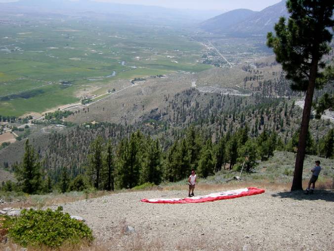
Launching after waiting for the wind to pick up. 45 minute hike to launch. Where are the sherpas ?
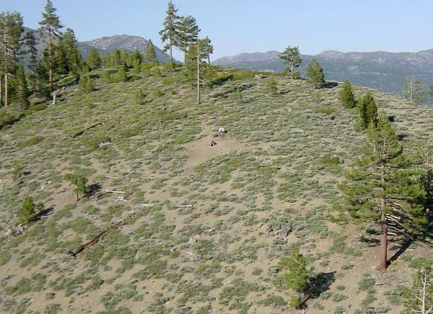
View of Ed's launch. Those guys brought up a forged steel bench to launch.

Bob Barry soaring.
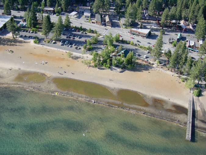
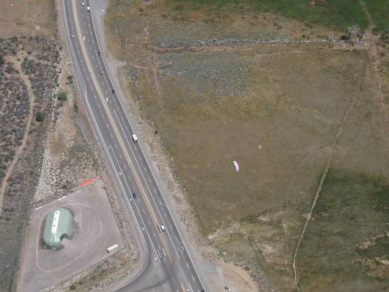
Landing at King's beach. Just start your approach from the pier and don't knock anyone over.
Day 3. Kingsbury Grade. Close to the South end of Lake Tahoe.
Launch. We are lucky to meet up with Greg Stiles for a site intro. Make sure to grab that first thermal.
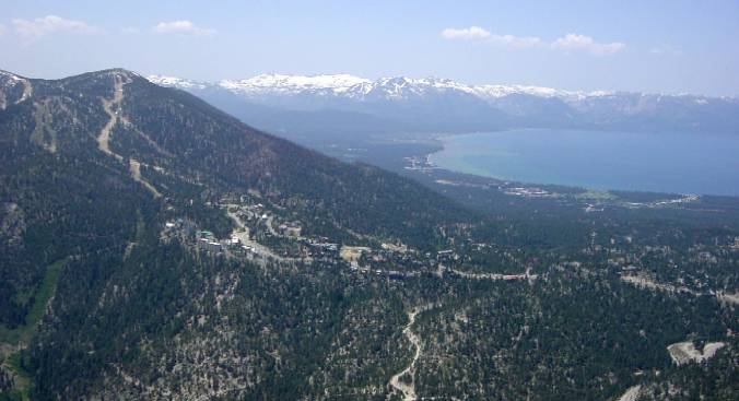
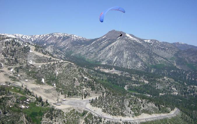
On transition to Heavenly peak.
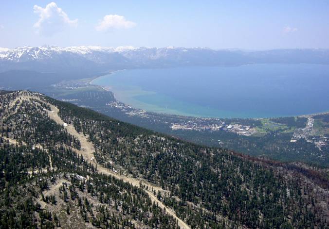
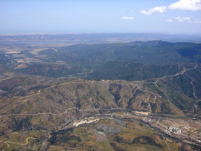
3350m (11000') MSL and considering options : Keep following ridge or go for the lake ? Easy call.
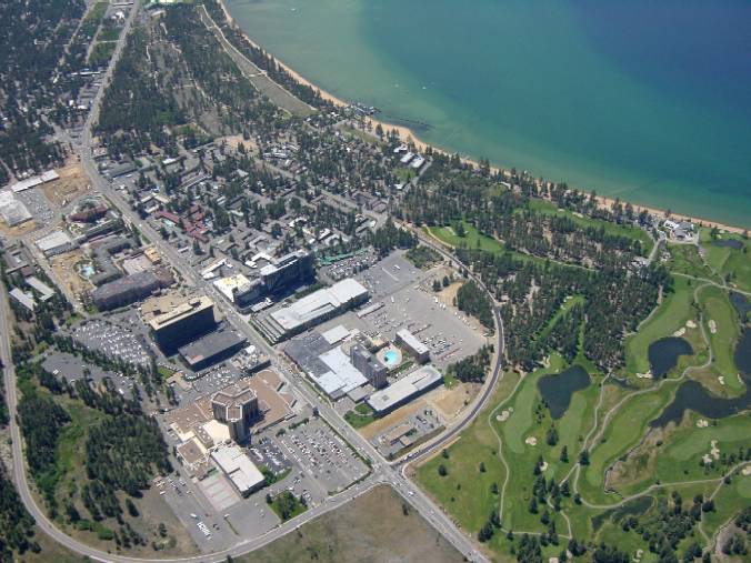
Over the Nevada casinos (they were good to me the next day). Landing at Nevada beach.
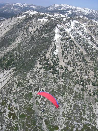
Day 3. More flying at Slide Mountain. Wind is from the right (South) and thermals work better in front. A low save makes me very happy.
Day 4 and 5. Windy. Drive North for better conditions and to discover a new site.
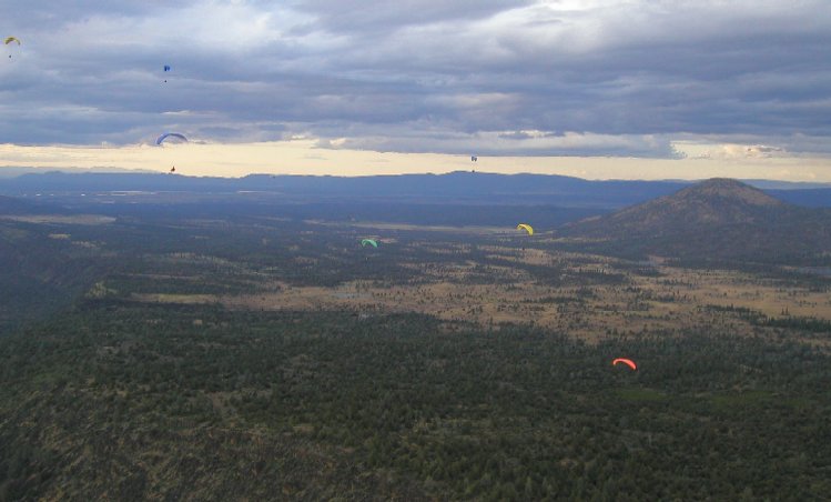
Day 6. Hat Creek Rim. Local guy Page gives us the site intro. A fly-in will brings lots of people later.
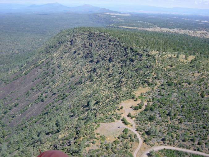
Lee-side thermalling in the morning. Launch and the North side. That volcanic rock heats up well.
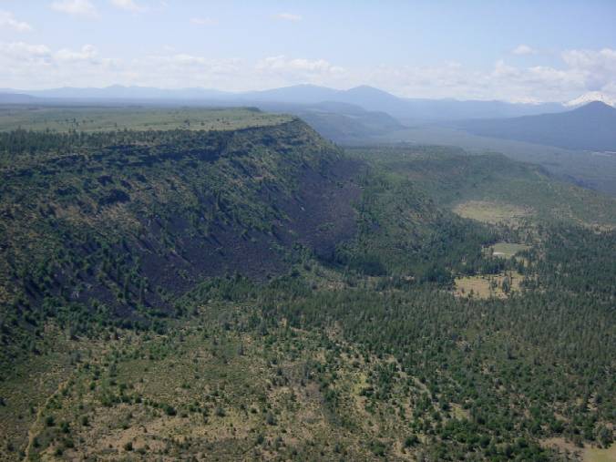
View of the upper rim to the South.
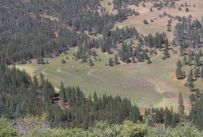
Landing is right below launch. Watch the windsock for switch directions.
A fly-in brings lots of pilots for the evening ridge soaring.
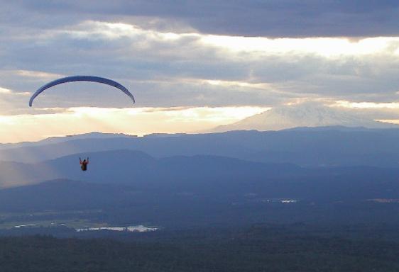
View of Mount Shasta in the background. Landing was at 8:45pm.
Day 7. Potato Hill. Kim Galvin of FlyZephyr gave us the good idea to come here and join them.
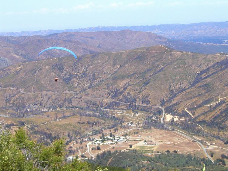
Myself launching as soon as I can after the site introduction. I can't wait to join the pilots circling above.
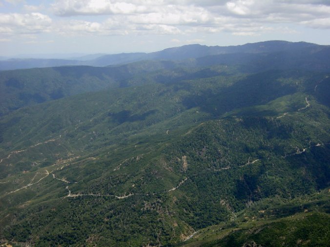
Good decision to transition to "Snow" peak where I am rewarded with a climb to cloud base. Looking back at ridge where launch is.
OK, I'm high again and don't know what to do. Kim on the radio encourages me to leave the valley and fly into the flatlands ahead offering a retrieve. Thank you Kim and Mike !
The trip : Over 2000 miles, 304 pictures to comb through, and memories of meeting very nice people.
PS. A big thanks to our wives who let the boys go on paragliding road trips. J