


Jérôme folding on the kiting area after a good flight.
Jérôme replie sur l'aire de gonflage après un bon vol.


By order of interest:
Schools / Ecoles for paragliding operating at this site.
Mine + Others ordered alphabetically / La mienne + Autres ordonnées alphabétiquement:
GPS coordinates / Coordonnées GPS
| Description | Latitude | Longitude | Altitude (ASL) | Alt over LZ | Comment | ||
| Landing Zone | N 33° 49.087' | W 116° 57.698' | 473 m | 1552' | 0 m | 0' | Altitude measured by GPS in ft on 2013/2/15. SW of clubhouse middle of LZ width. |
| Top of training hill | 507 m | 1663' | 34 m | 111' | Altitude measured by GPS in ft on 2013/2/15. Highest area where a wing can be laid out. | ||
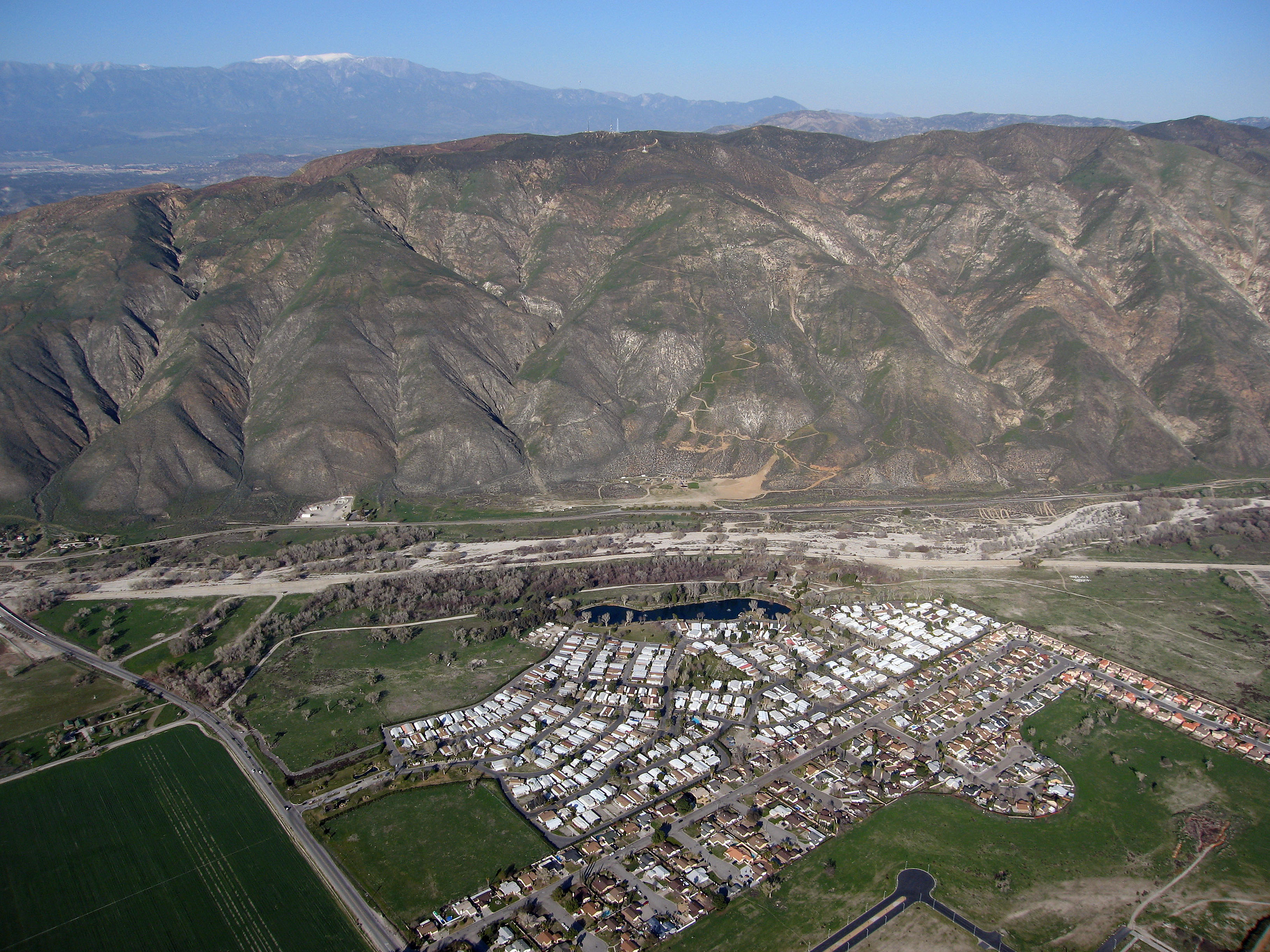
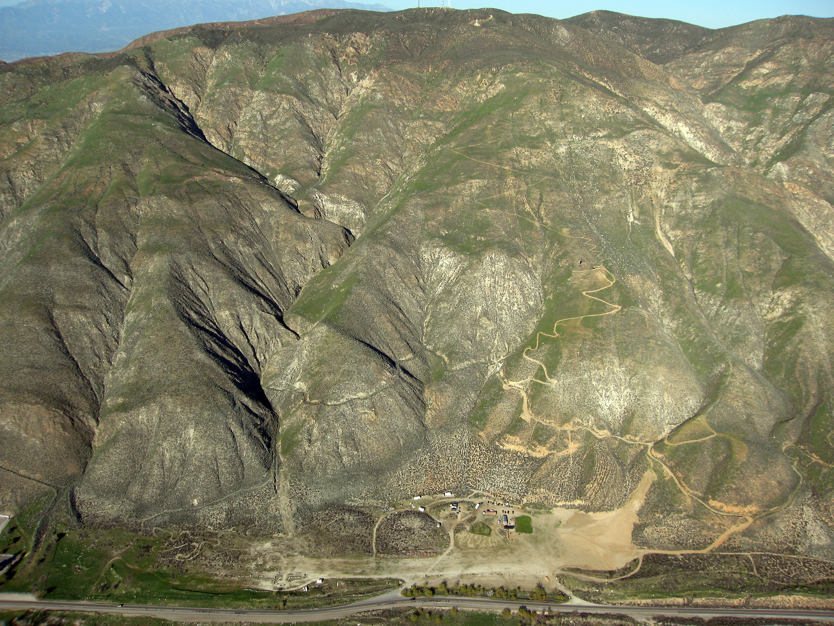
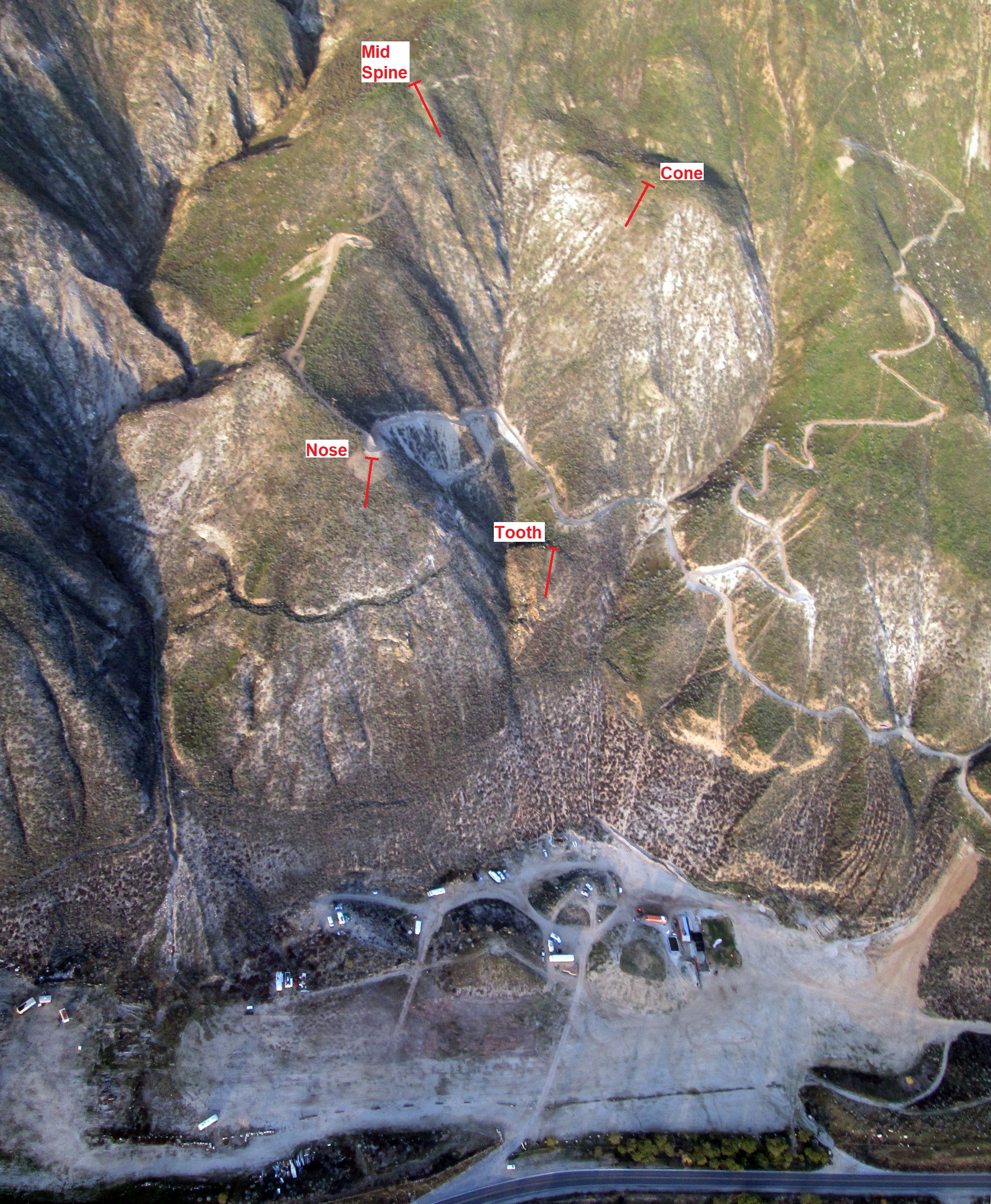
| Tooth launch | 82 m | 270' | Estimated altitude. | ||||
| Nose launch | 168 m | 550' | Estimated altitude. | ||||
| Mid Spine launch | 244 m | 800' | Estimated altitude. See Video section. | ||||
| Cone launch | 244 m | 800' | Estimated altitude. | ||||
| 1000' launch | 305 m | 1000' | Estimated altitude. | ||||
| 1450' launch | 442 m | 1450' | Estimated altitude. Better for paraglider pilots than 1450' launch. See Video section. | ||||
| 1500' launch | 457 m | 1500' | Estimated altitude. Steeper than 1450' to help speedwing pilots. | ||||
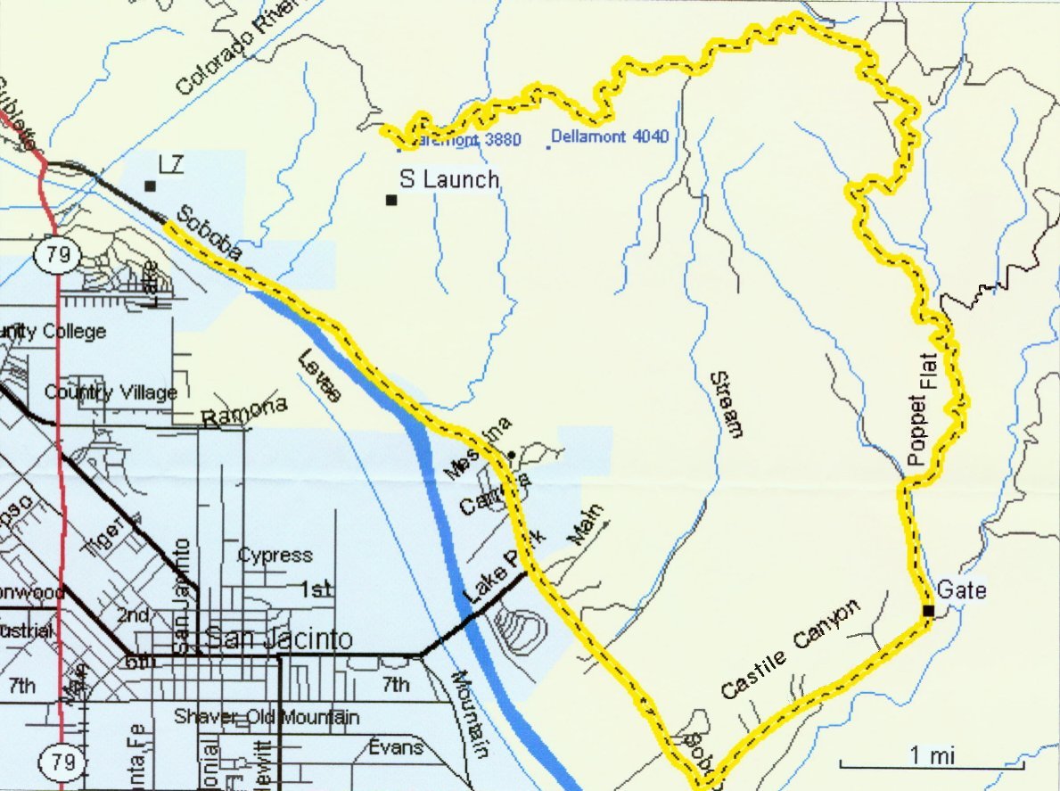
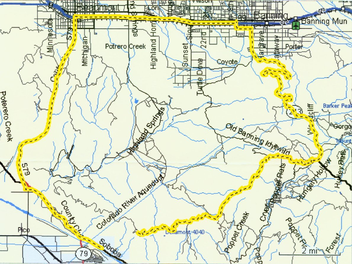
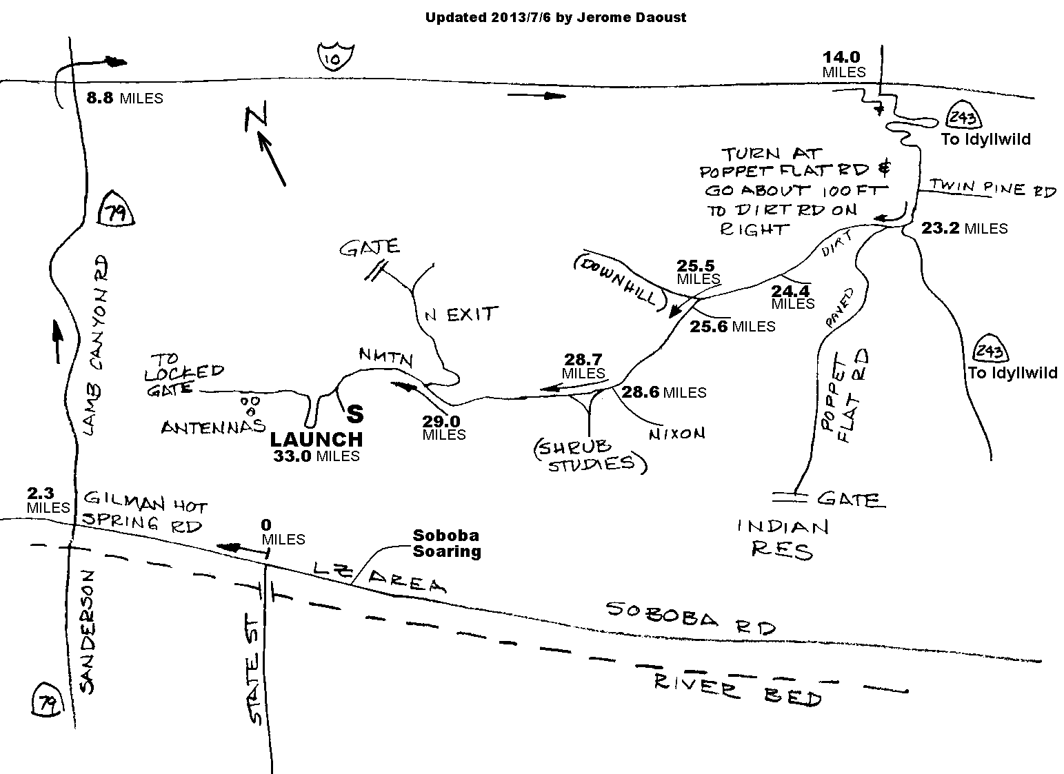
| Top drive-up launch | N 33° 49.159' | W 116° 56.336' | 1128 m | 3700' | 655 m | 2148' | Altitude obtained by Google Earth |
For a great way to explore this flying site in 3D, see Google Earth's Local points of interest in the Maps section.
Time to hike:
Obsolete locations...
| Description | Latitude | Longitude | Altitude (ASL) | Alt over LZ | Comment | ||
| 250' launch | 551 m | 1807' | 78 m | 255' | Altitude measured by GPS in ft on 2013/2/15. Middle of area before slope steepens. | ||
| 500' launch | 618 m | 2027' | 145 m | 475' | Altitude measured by GPS in ft on 2013/2/15. Middle of launch area. | ||
| 650' launch | 675 m | 2214' | 202 m | 662' | Altitude measured by GPS in ft on 2013/2/15. Middle of launch area. | ||
| 800' launch | 722 m | 2368' | 249 m | 816' | Altitude measured by GPS in ft on 2013/2/15. Middle of launch area. | ||
| 1000' launch | 777 m | 2550' | 304 m | 998' | Altitude measured by GPS in ft on 2013/2/15. Middle of launch area. | ||
| 1300' launch | 867 m | 2844' | 394 m | 1292' | Altitude measured by GPS in ft on 2013/2/15. Middle of launch area. | ||
| "High Tension" launch | 892 m | 2926' | 419 m | 1374' | Altitude measured by GPS in ft on 2013/2/15. Middle of launch area. | ||
| 1500' launch | 934 m | 3064' | 461 m | 1512' | Altitude measured by GPS in ft on 2013/2/15. Middle of launch area. | ||
Paraglider Kiting Places / Zones de Gonflage Parapente
By distance from the LZ...
Pictures I took (click thumbnail to open full size image in a new window)
Photos que j'ai prises (clique la petite image pour ouvrir la photo pleine grandeur dans une nouvelle fenêtre)
|
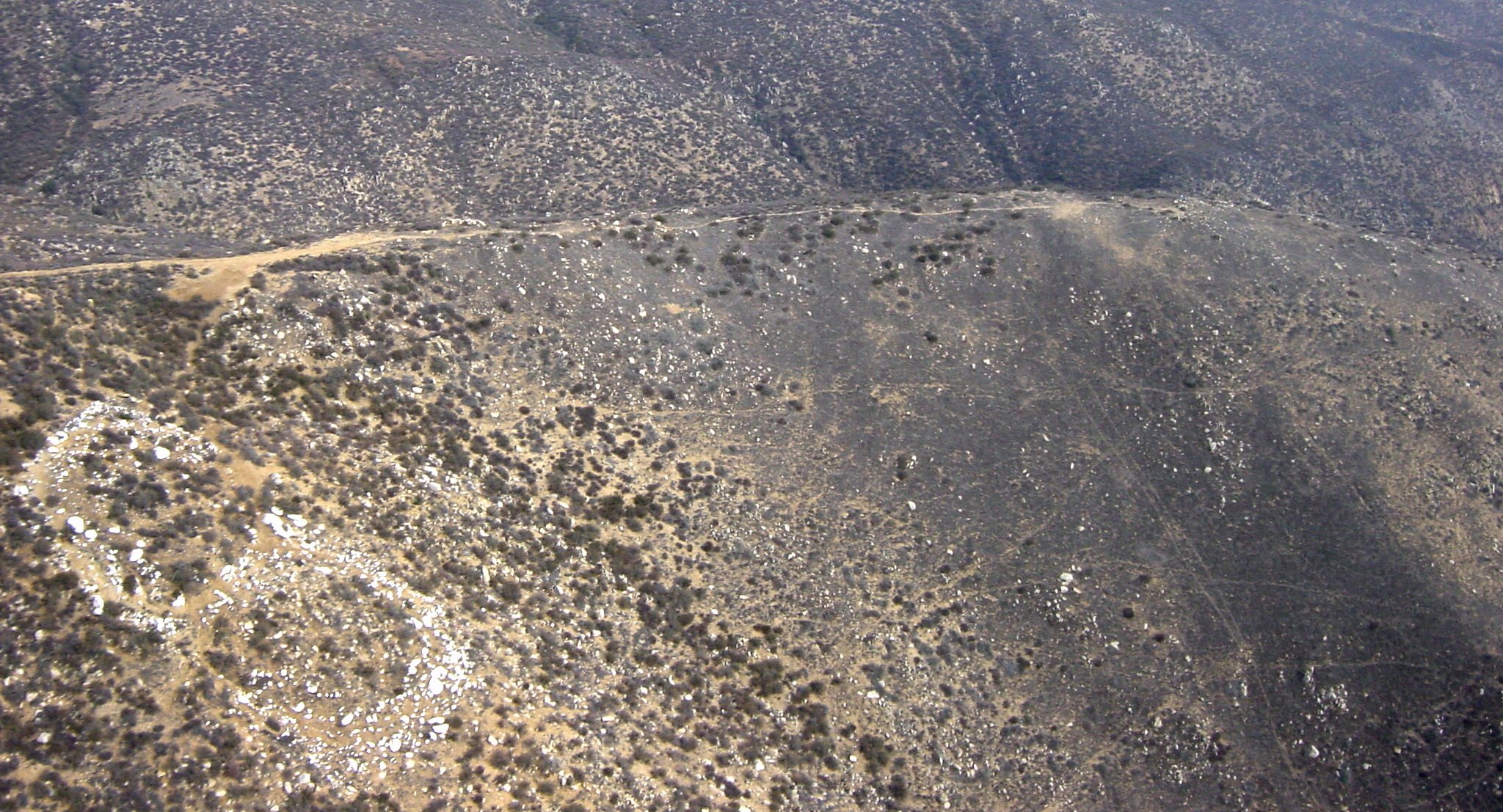
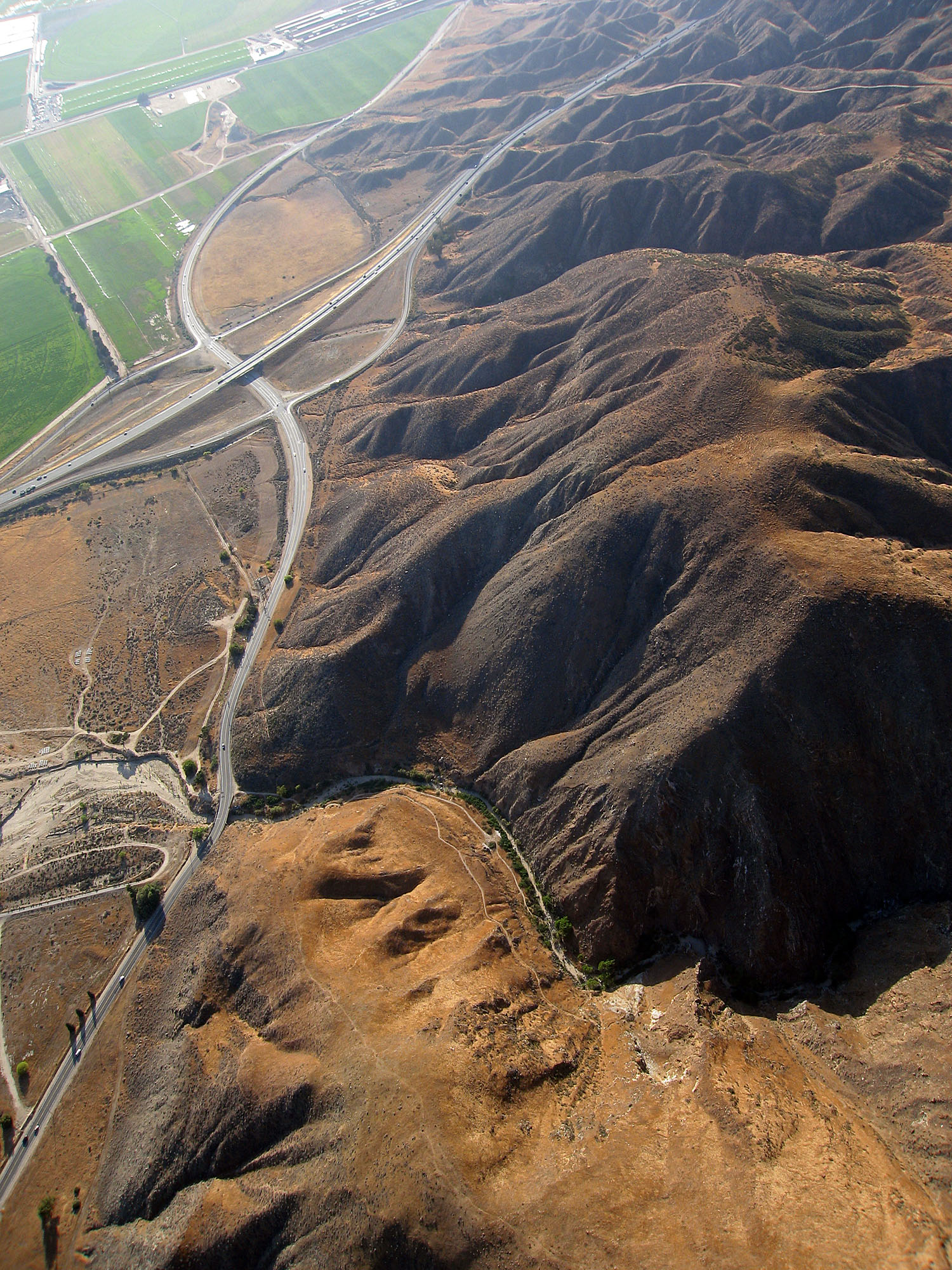
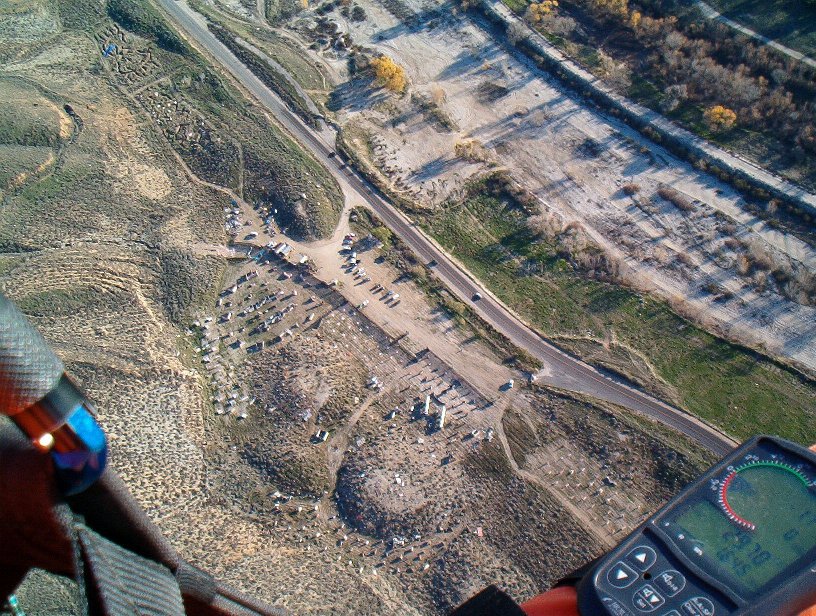
| 2002/10/19 | The "S" launch. Requires hiking. |
| Le décollage "S". Requiert de la marche à pied. | ||
|
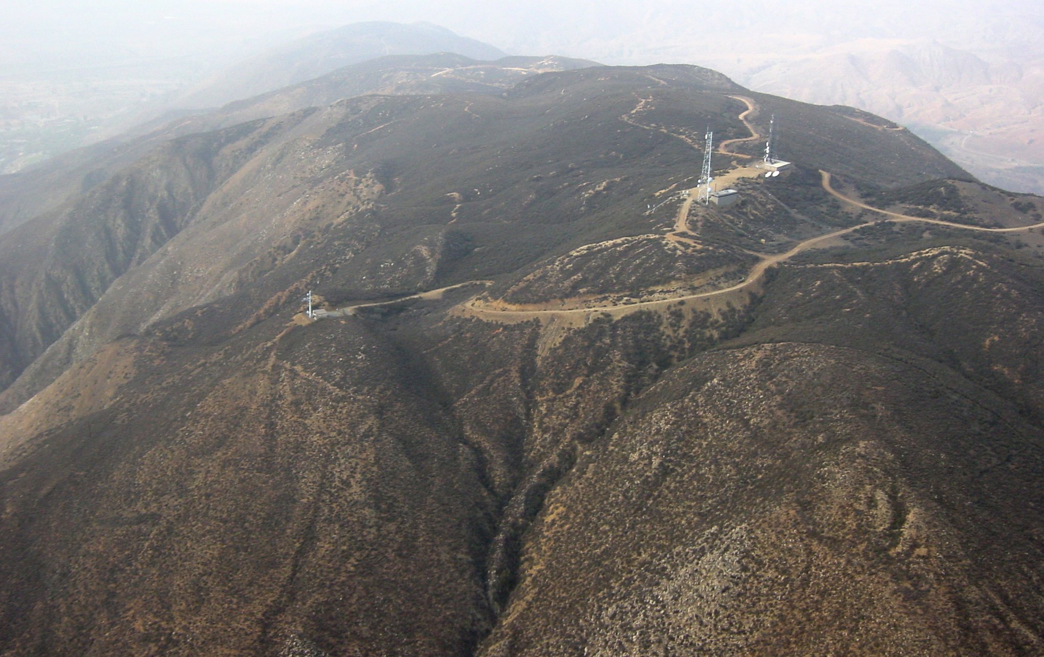
| 2002/10/19 | The drive-up top launch. |
| Le décollage au sommet accessible par voiture. | ||
|
| 2002/10/19 | The towers and the launches. |
| Les tours et les décollages. | ||
|
| 2002/10/19 | The towers. |
| Les tours. | ||
|
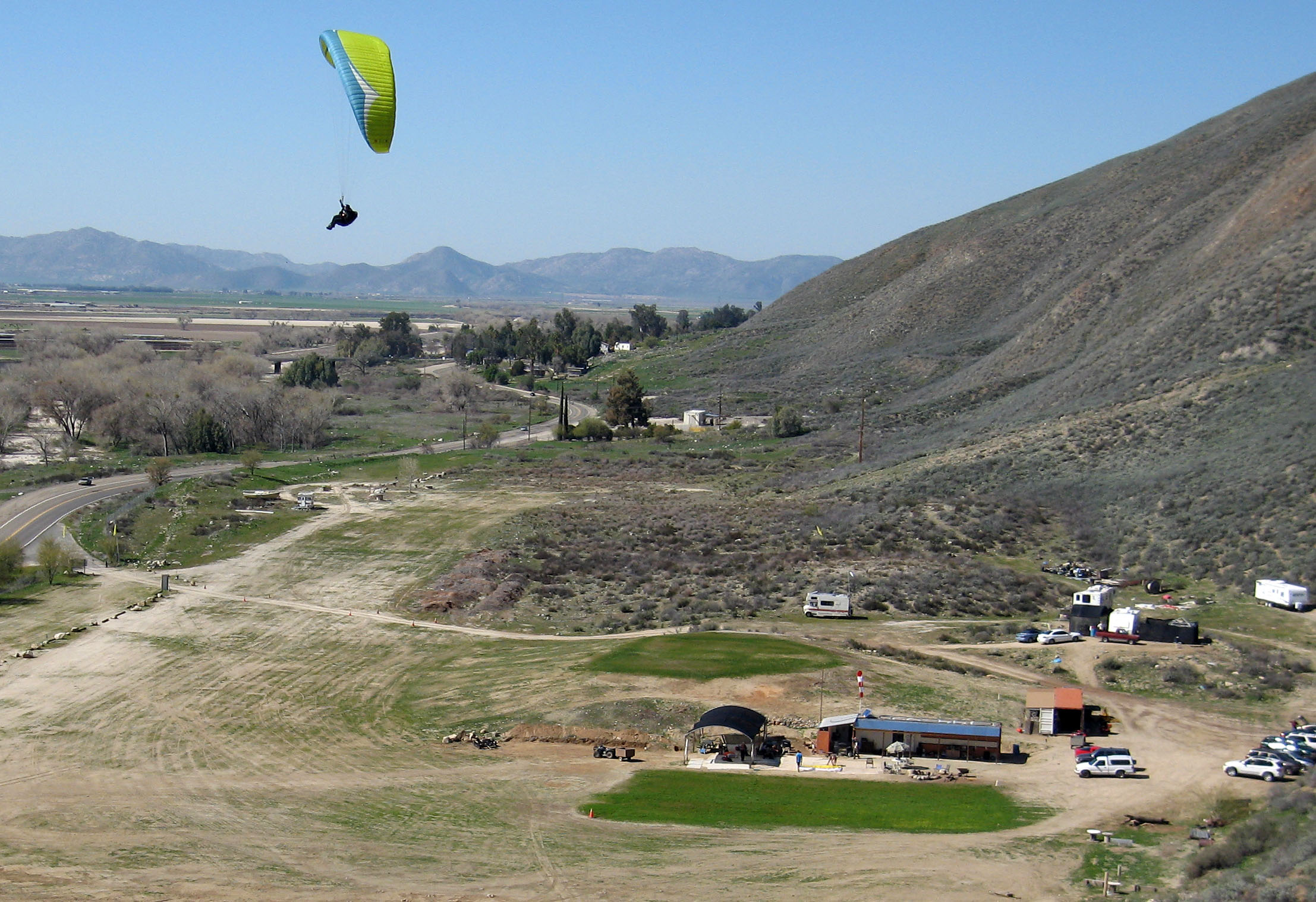
| 2002/10/19 | The landing zone. |
| La zone d'atterrissage. | ||
|
| 2006/5/20 | Views of each direction. |
| Vues dans chaque direction. | ||
|
| 2006/7/1 | Arriving at Soboba from Elsinore. |
| Arrivée à Soboba depuis Elsinore. | ||
|
| 2008/10/18 | Flying to the casino. Flight details. |
| Volant vers le casino. Détails du vol. | ||
|
| 2008/10/18 | Convergence over the valley. Flight details. |
| Convergence au-dessus de la vallée. Détails du vol. | ||
|
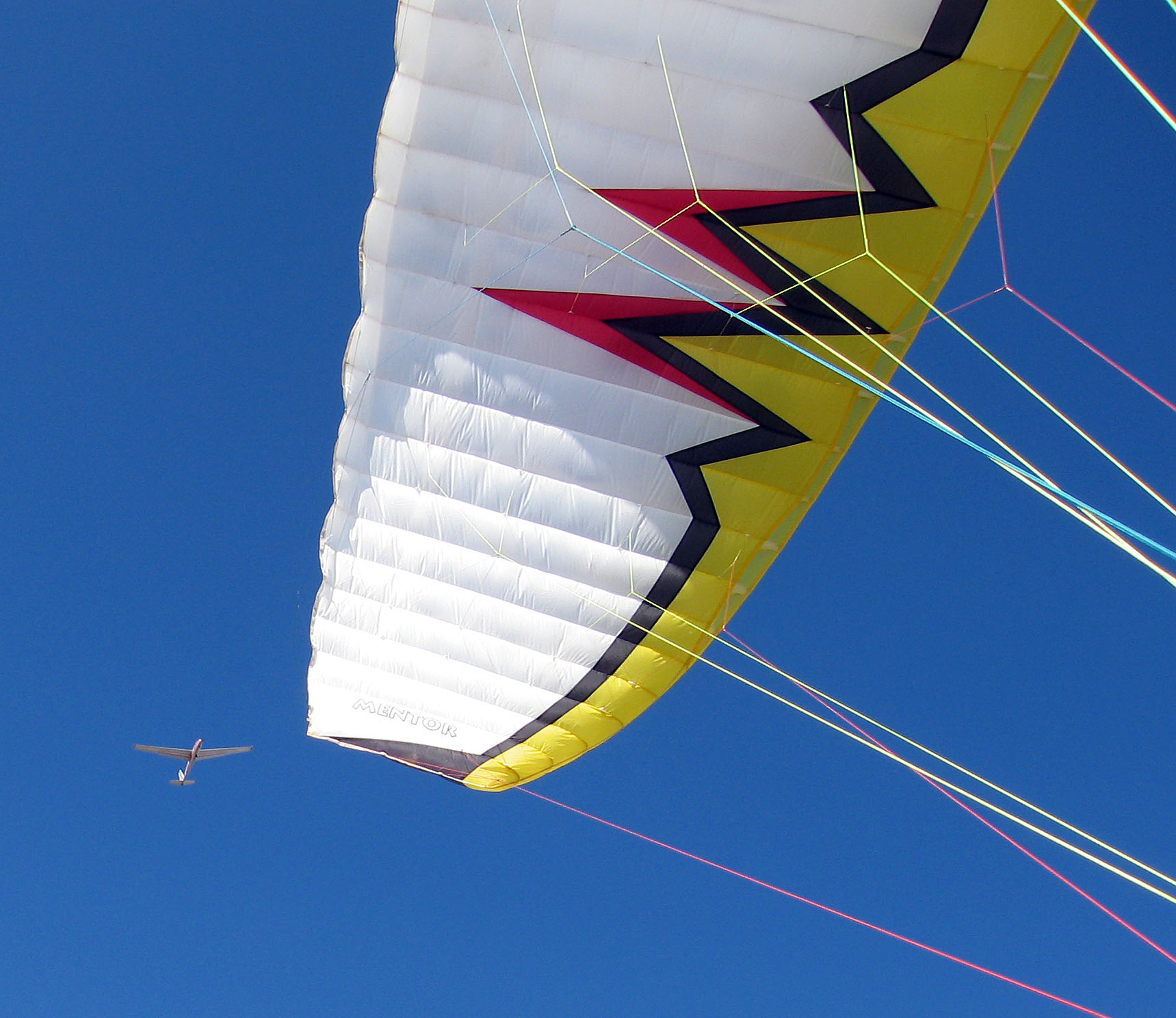
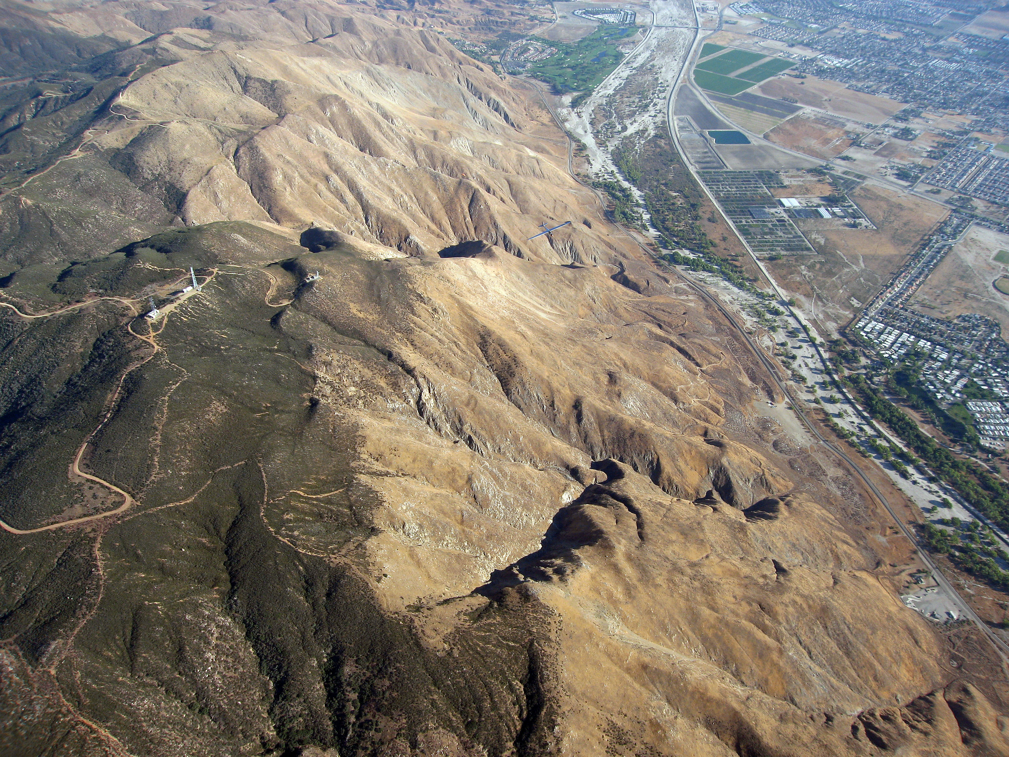
| 2008/10/18 | Out-thermalling a sailplane. Flight details. |
| Grimper plus vite qu'un planeur dans un thermique. Détails du vol. | ||
|
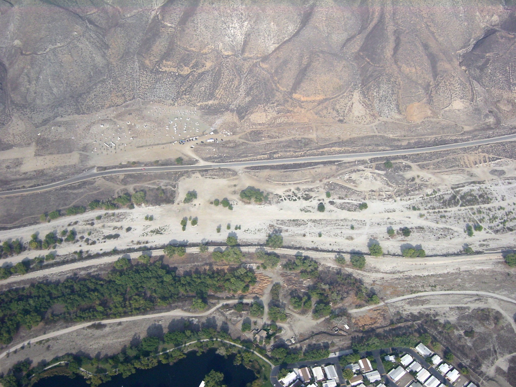
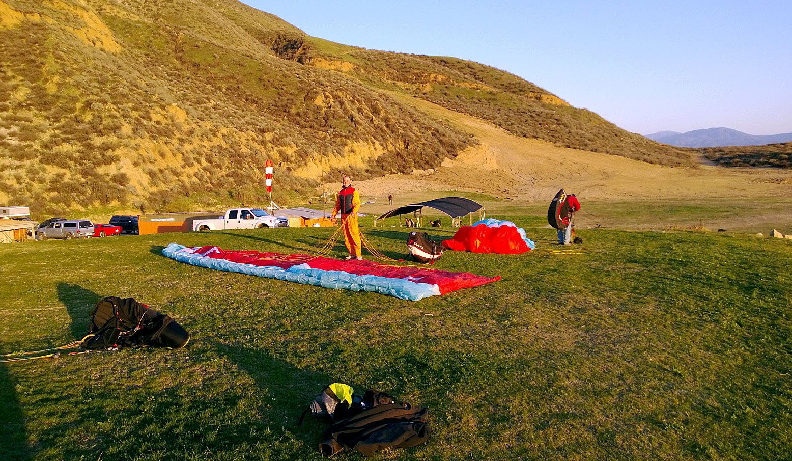
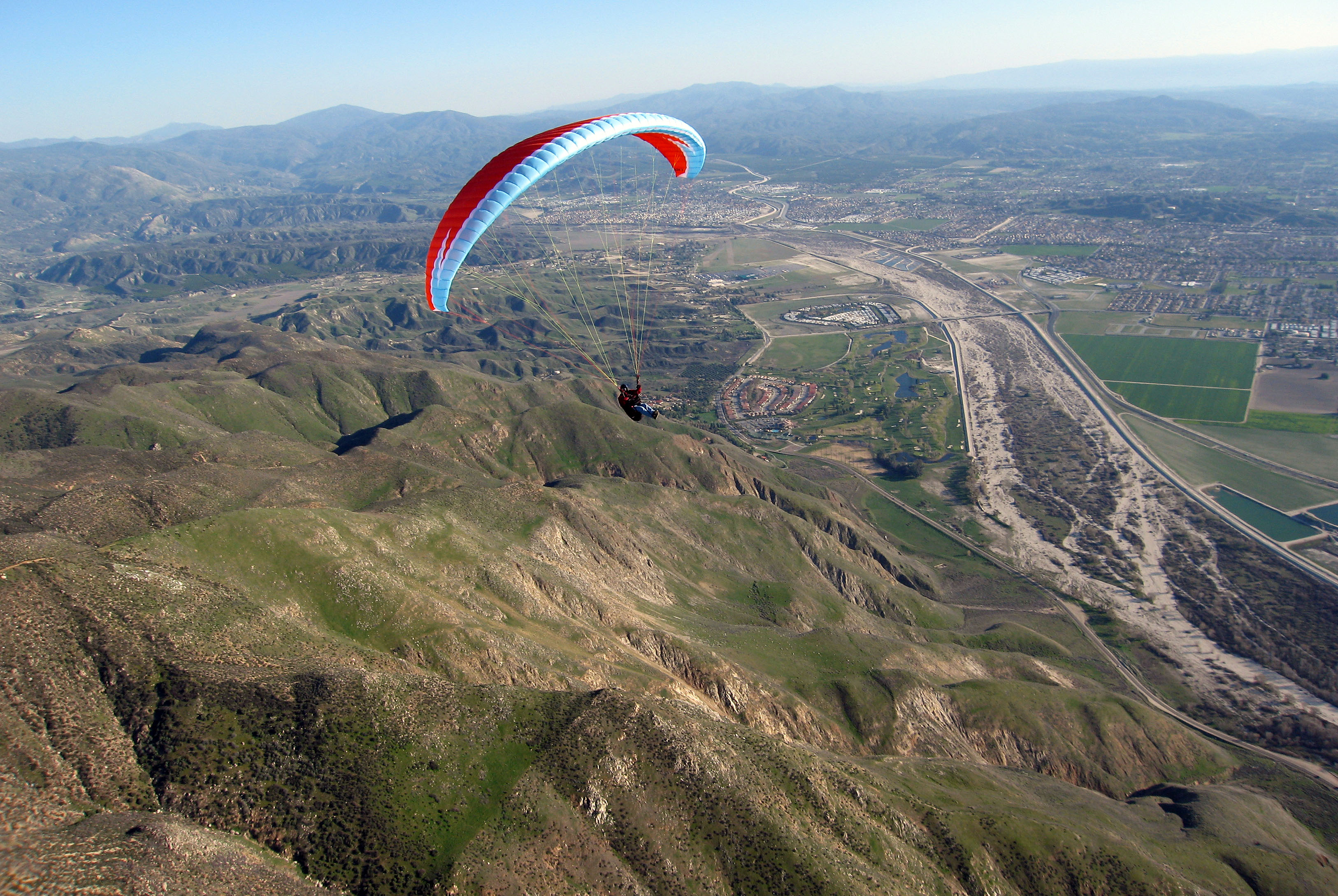
| 2013/2/17 |
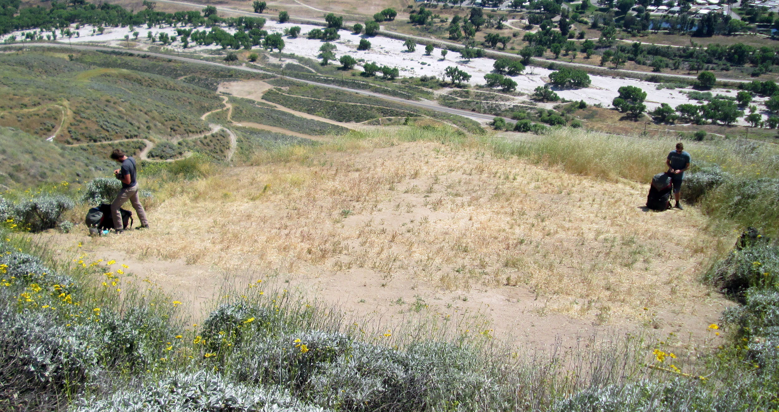
New grass areas: Packing & Social, Kiting (not for landing). Jeff Sanchez flying.
Jérôme folding on the kiting area after a good flight. |
|
Nouvelles zones en gazon: Repliage & Social, Gonflage (pas pour atterrir). Jeff Sanchez en vol.
Jérôme replie sur l'aire de gonflage après un bon vol. |
||
|
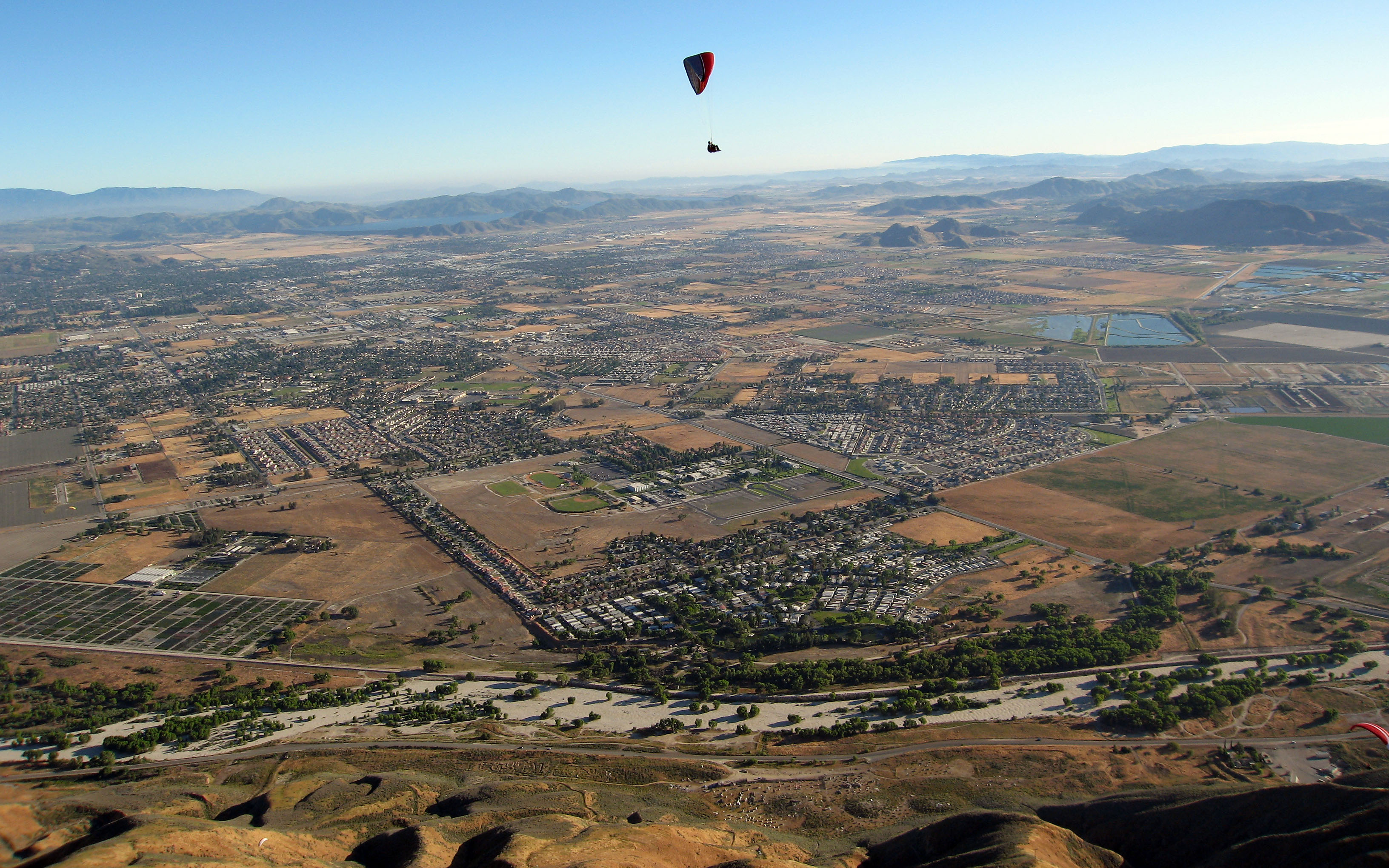
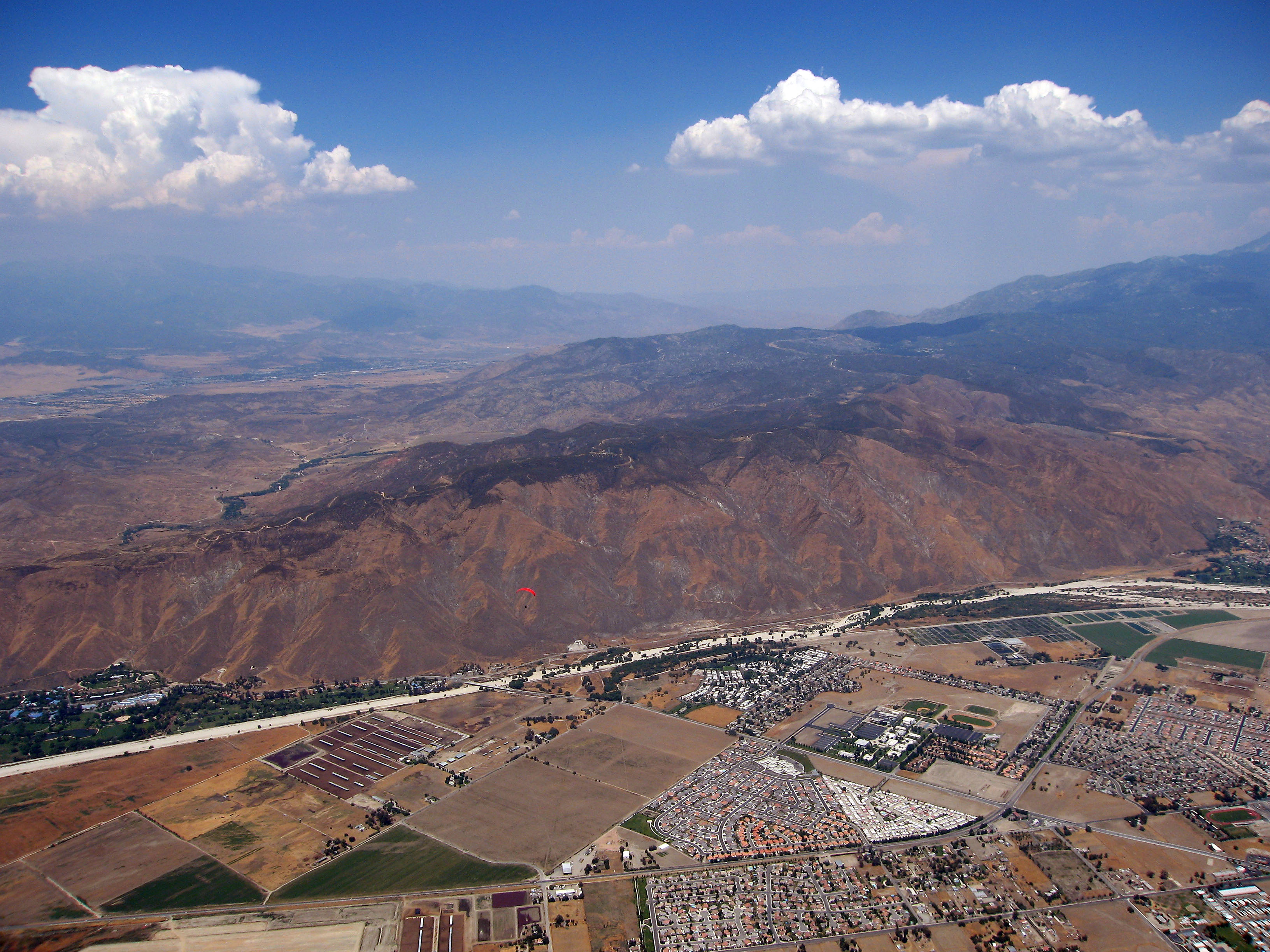
| 2013/2/17 | The mountain, far and close. |
| La montagne, loin et proche. | ||
|
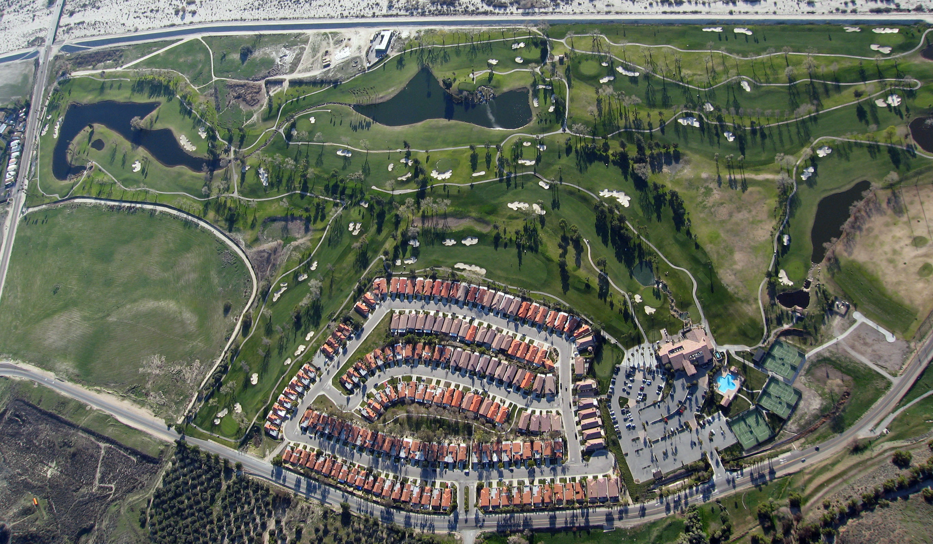
| 2013/2/17 | The golf course to the SE. |
| Le terrain de golf au SE. | ||
|
| 2013/2/17 | The casino to the SE. |
| Le casino au SE. | ||
|
| 2013/2/17 | Jean-Noël Michel with his new wing. |
| Jean-Noël Michel avec sa nouvelle aile. | ||
|
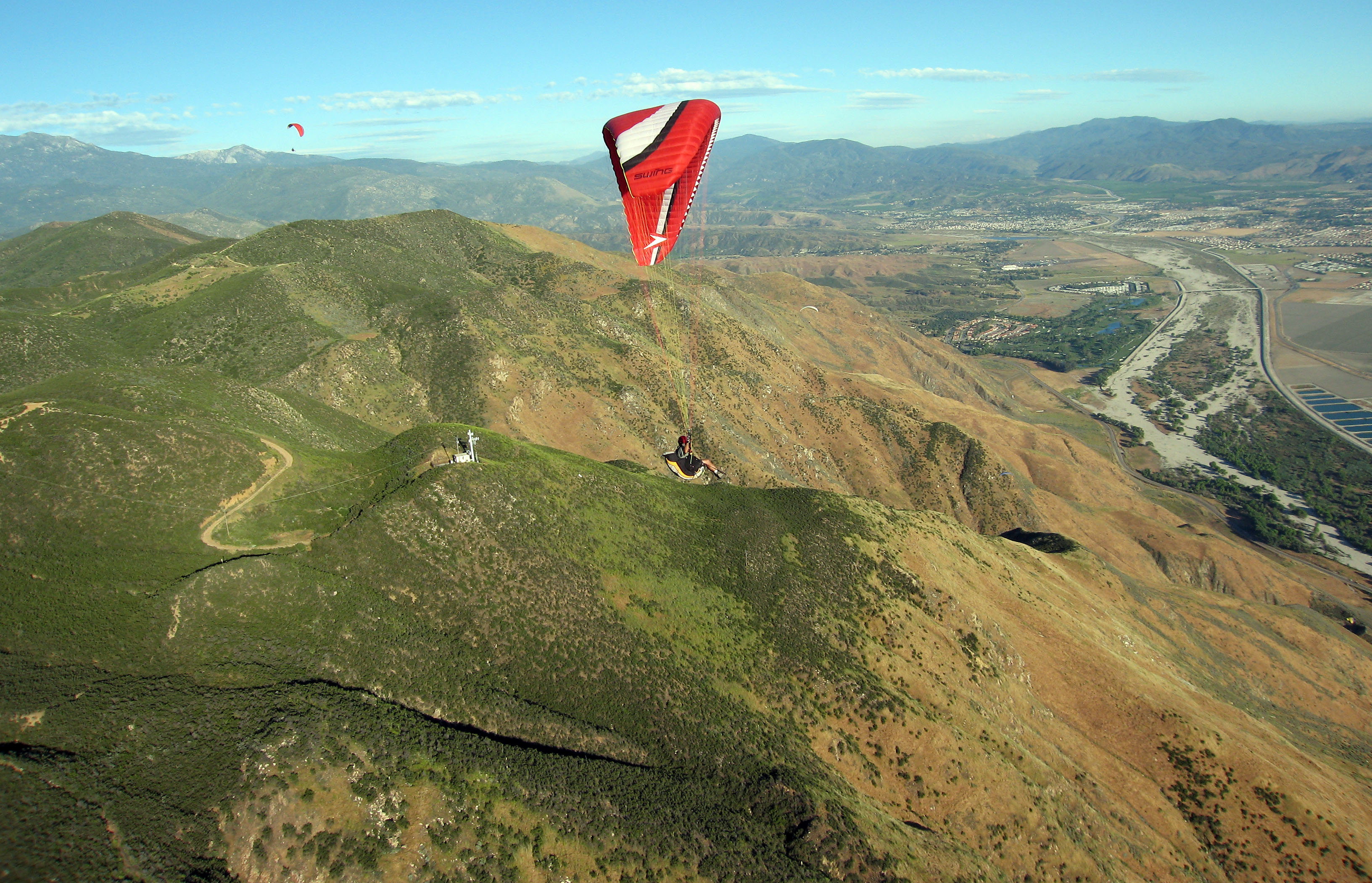
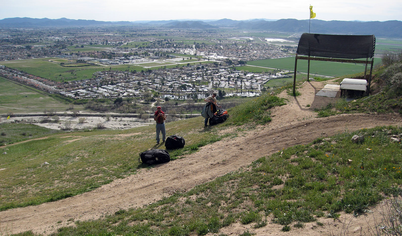
| 2013/3/2 | 650' launch, shade structure and bench. Over the ridge, facing NW. |
| Décollage 650', structure pour ombre et banc. Au-dessus de la montagne, faisant face au NW. | ||
|
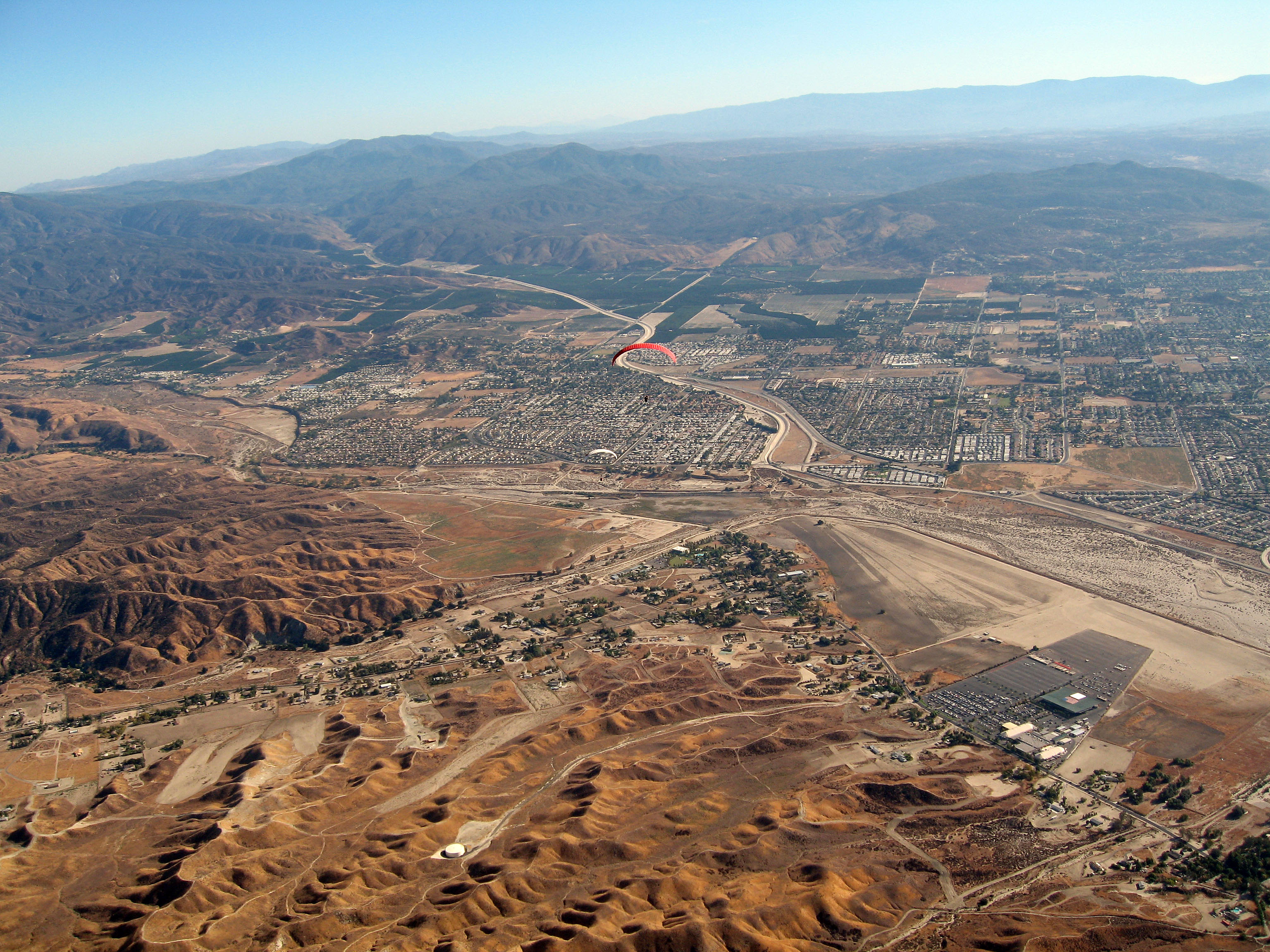
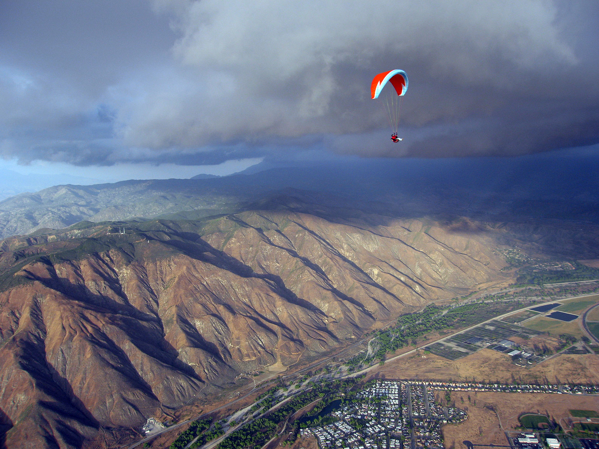
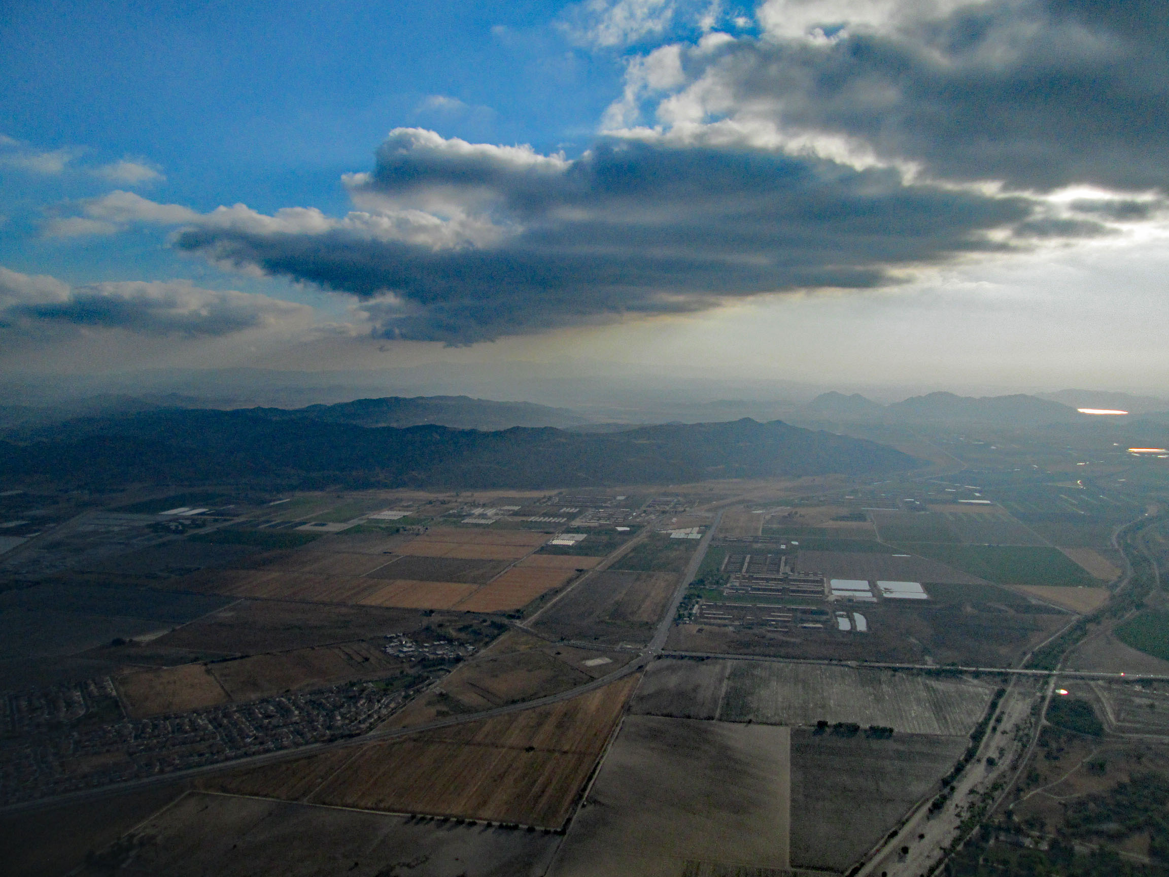
| 2013/4/16 | Big convergence. The mountain, from far and Jean-Noël Michel. |
| Grosse convergence. La montagne, de loin et Jean-Noël Michel. | ||
|
| 2013/4/30 | All hike & fly: I hiked from my house (45 min to LZ) to launch, then flew back home. |
| Tout par marche ou vol: J'ai marché depuis ma maison jusqu'au décollage, puis revenu en vol à la maison. | ||
|
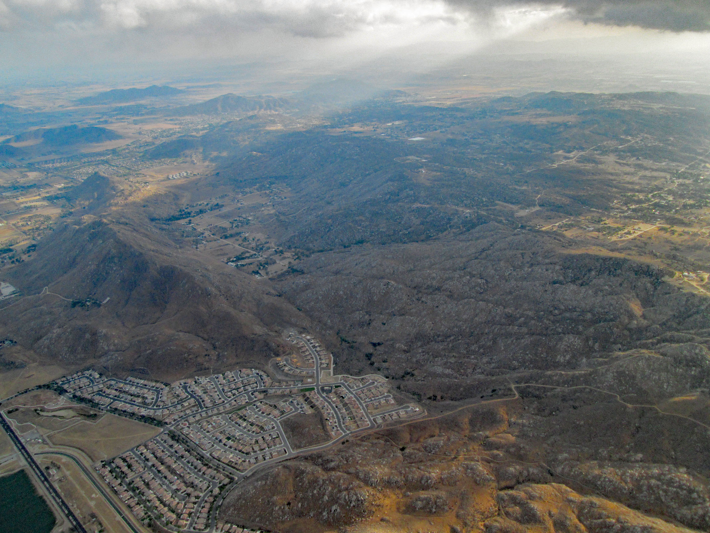
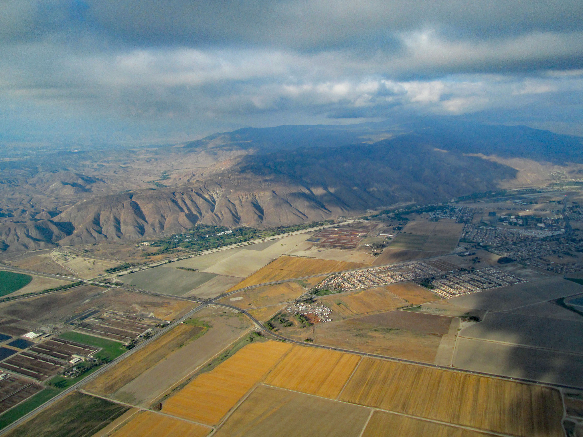
| 2013/5/15 | Massacre Canyon and Hwy 79 (Lamb Canyon). Over the ridge, facing SE, with Gold Base at bottom right. |
| Massacre Canyon et Hwy 79 (Lamb Canyon). Au-dessus de la montagne, faisant face au SE, avec Gold Base en bas à droite. | ||
|
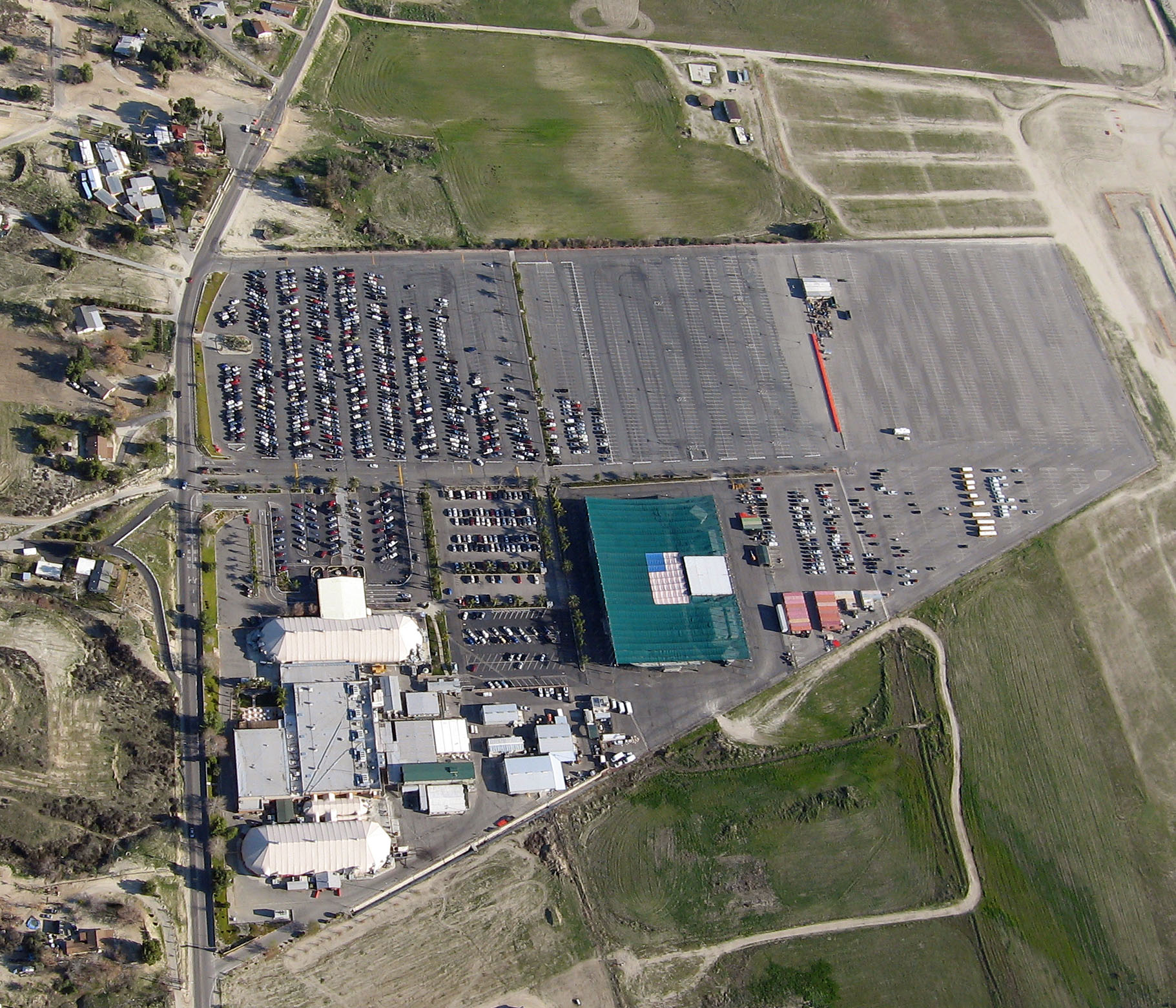
| 2013/5/30 | People and cars at the "S". They installed flood lights to support a game in town. |
| Des gens et des véhicules au "S". Ils ont installé des lumières en support d'un match sportif en ville. | ||
|
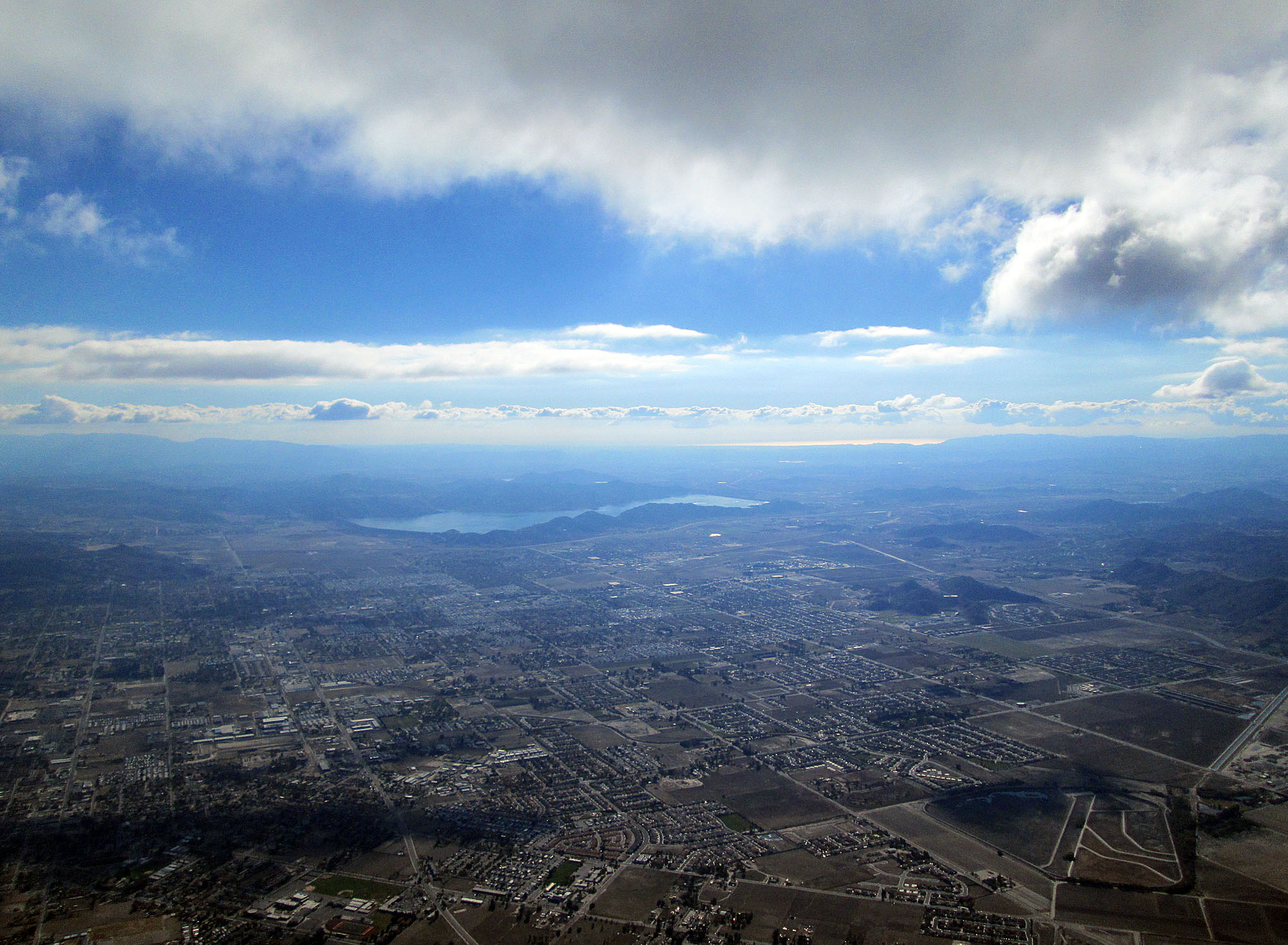
| 2013/11/24 | Thanks to a light Nord wind, visibility allows to see the ocean. Taken from cloudbase at 6500' MSL. |
| Grâce à un léger vent du Nord, la visibilité permet de voir l'océan. Prise depuis la base des nuages à 1980 m MSL. | ||
|
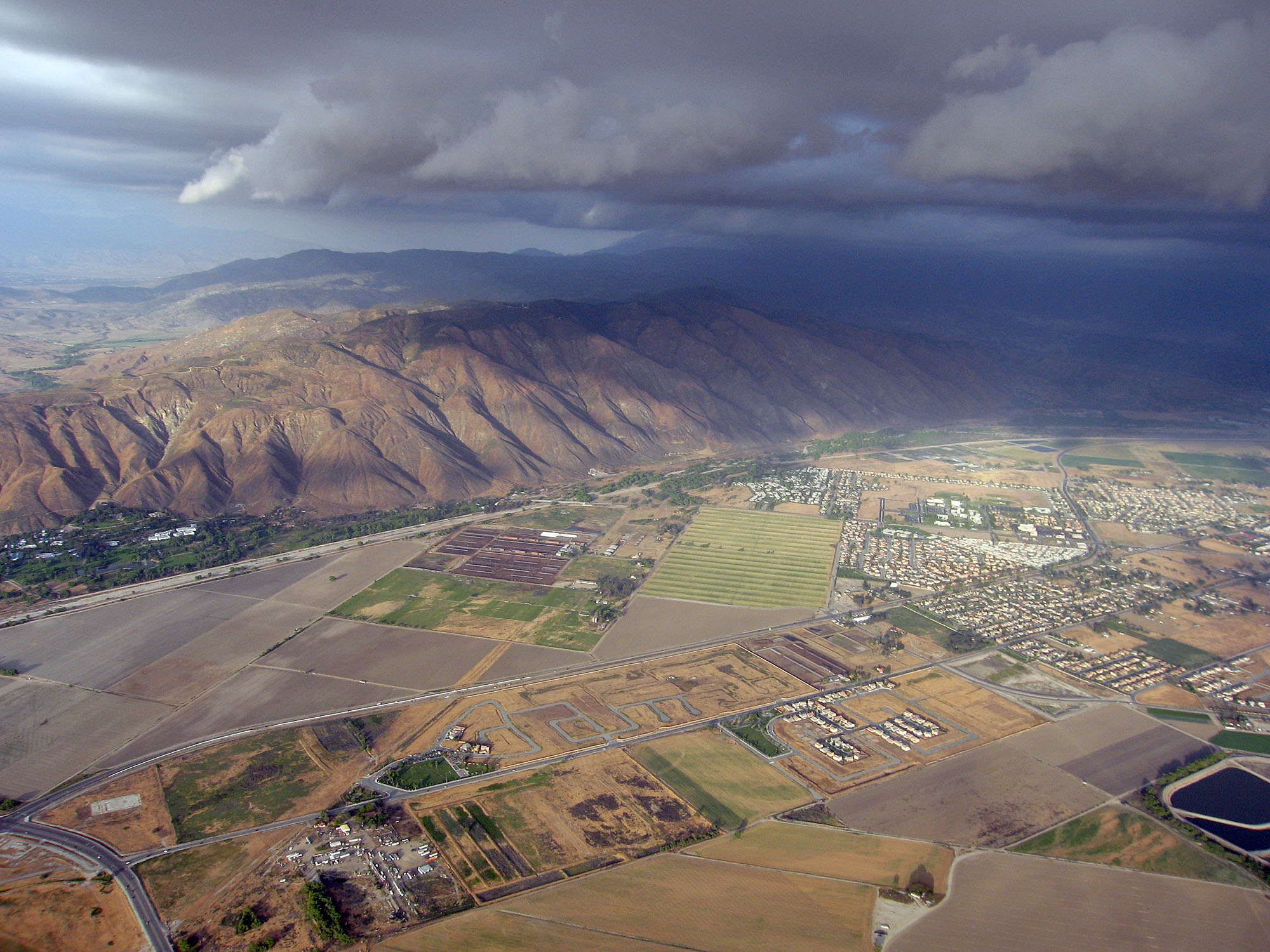
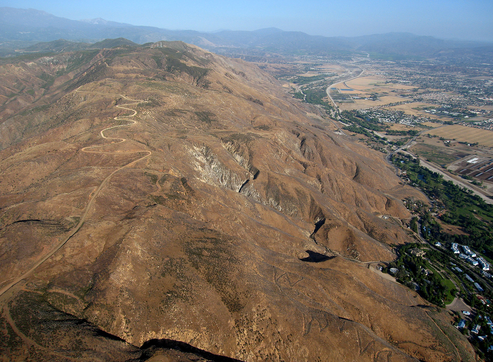
| 2020/1/8 | New launches. |
| Nouveaux décollages. | ||
|
| 2020/5/10 | "Mid Spine" launch. |
| Décollage "Mid Spine". | ||
|
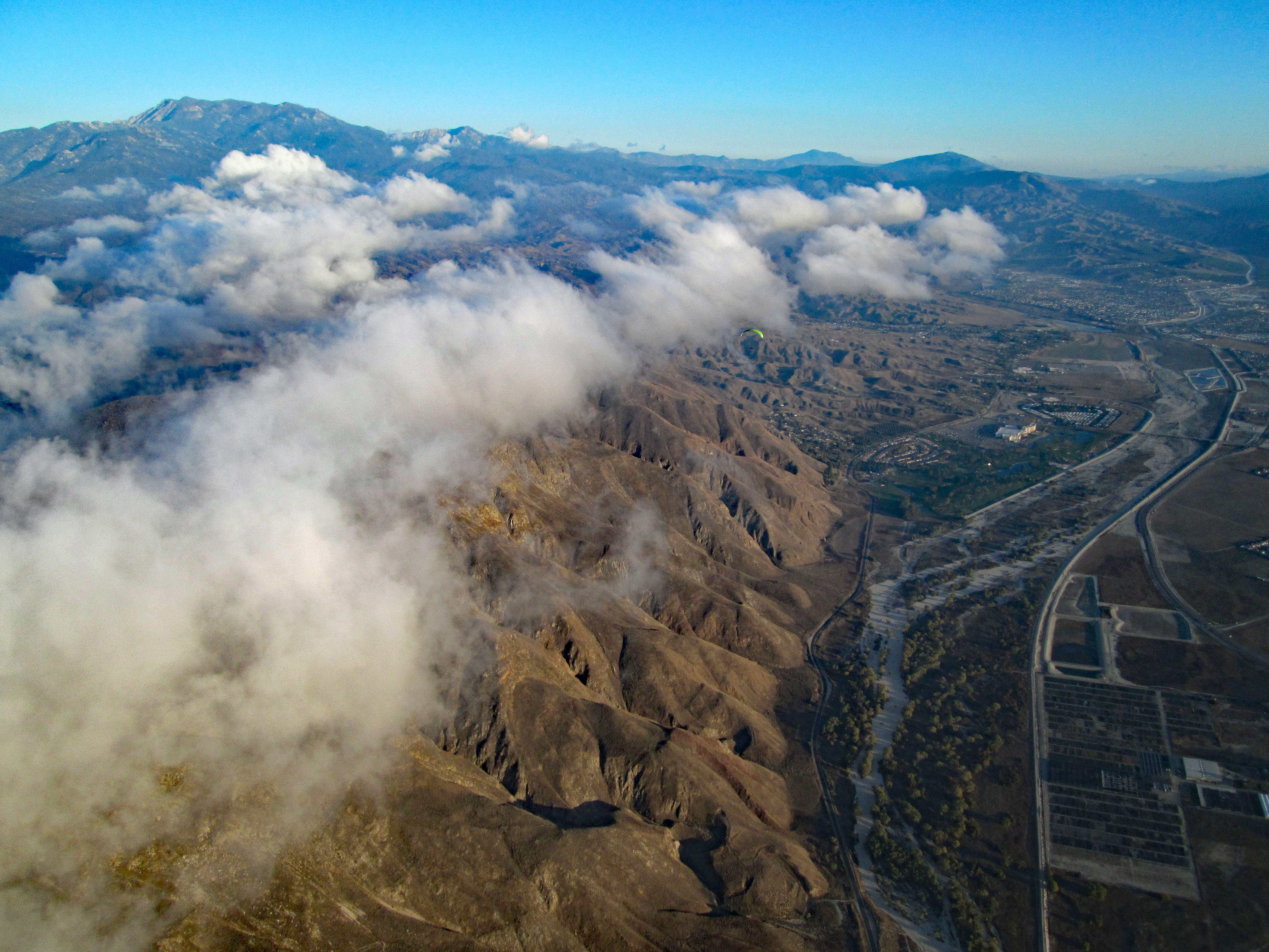
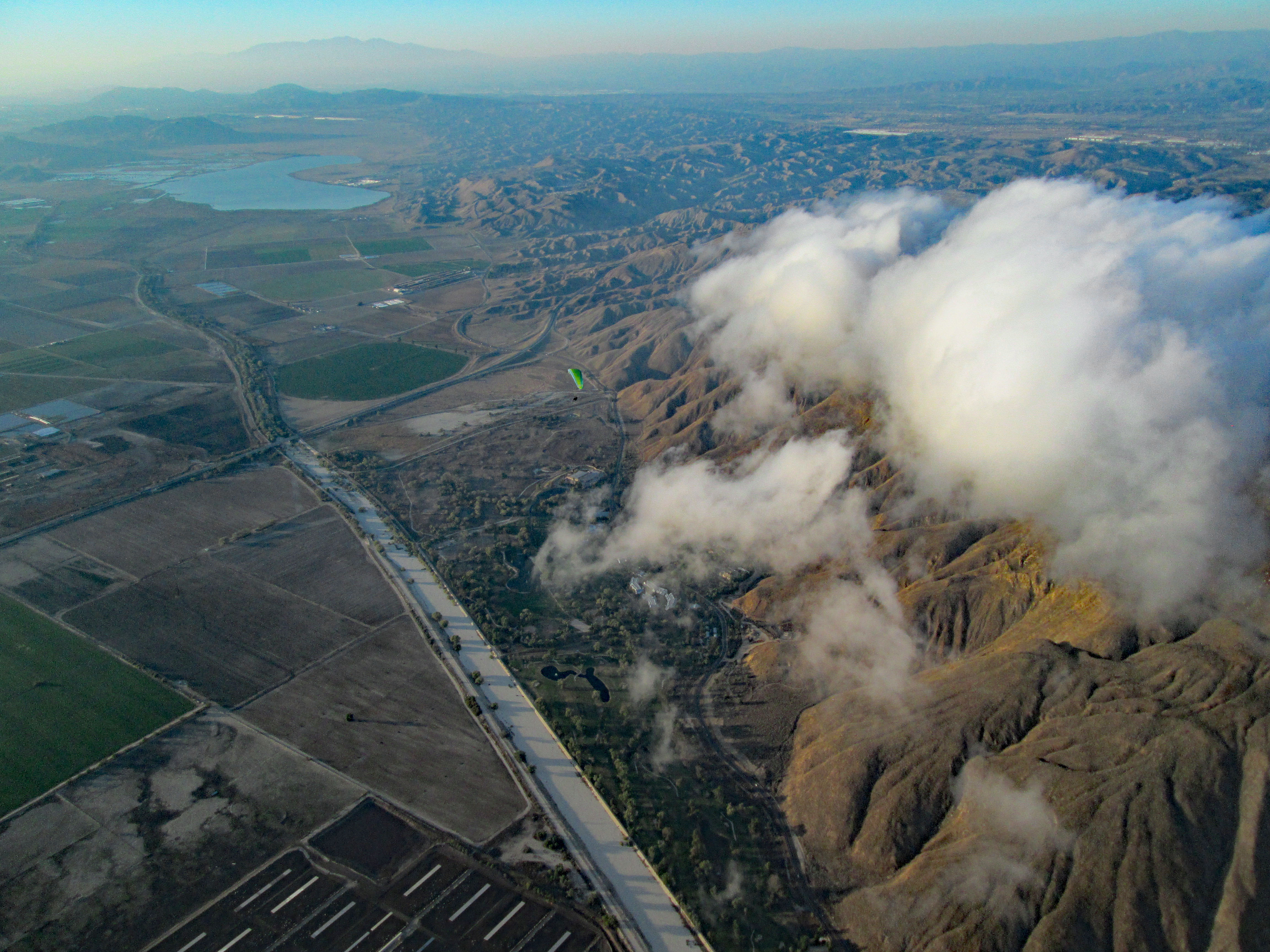
| 2022/5/29 | Out-and-rteurn to Juniper Flats: Convergence clouds, arrival at cloudbase, and looking back. |
| Allez-retour à Juniper Flats: Nuages de convergence, arrivée à la base des nuages, et regard du retour. | ||
|
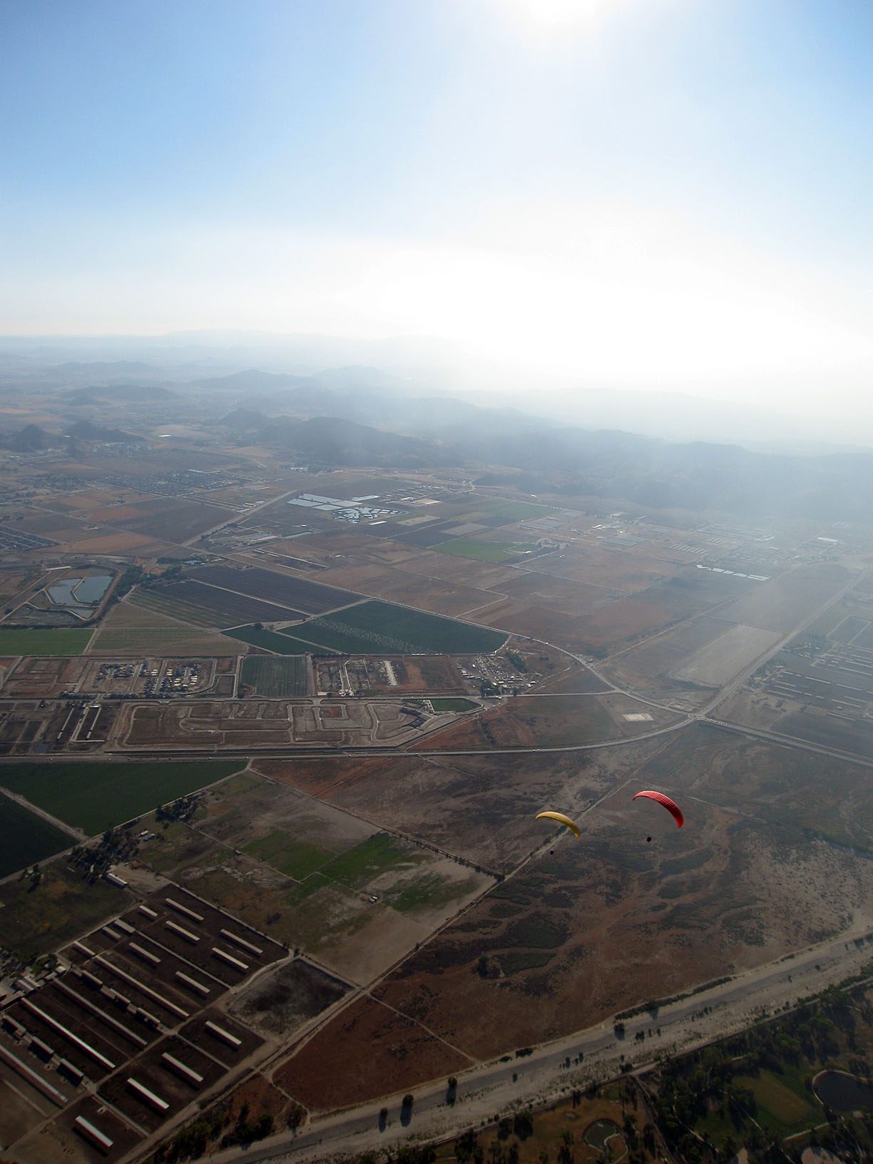
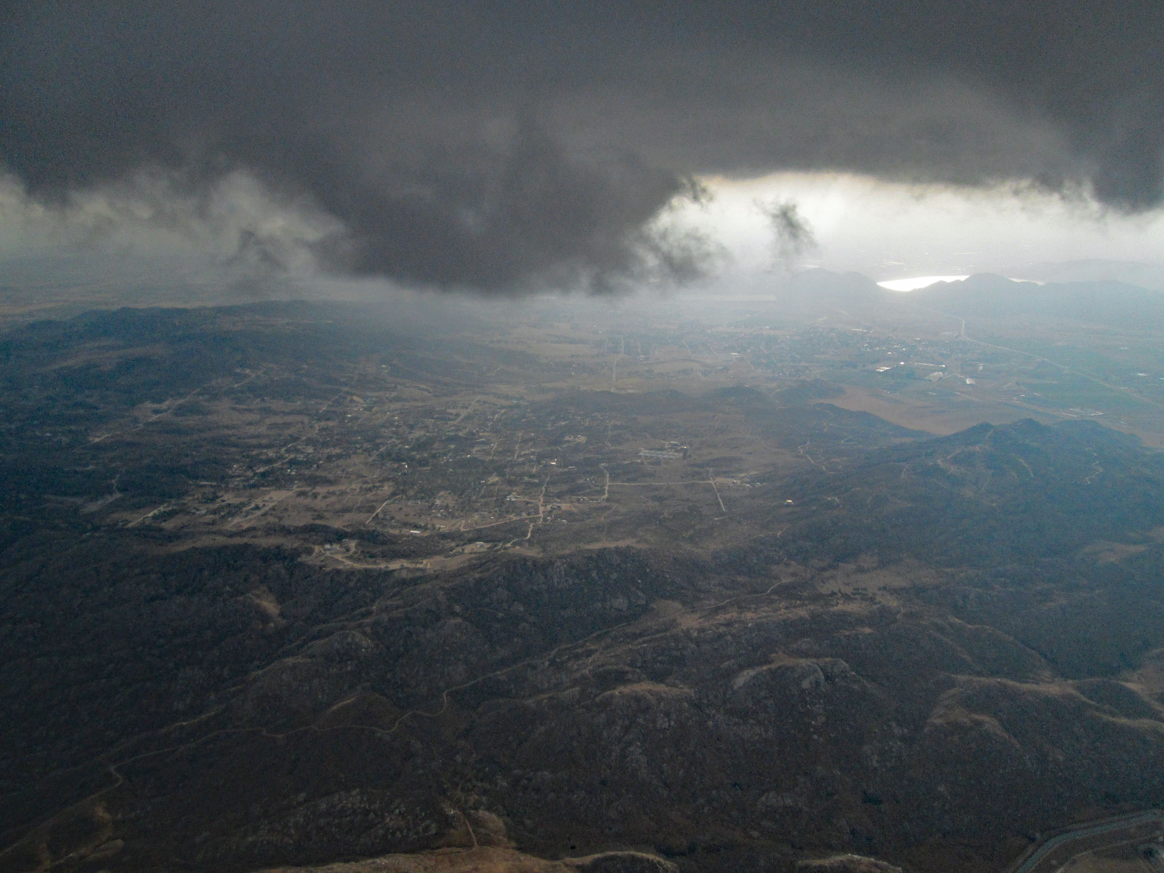
| 2023/11/23 | Plenty of lift above and upwind of the clouds. Cory Young under the green wing. |
| Ascendance généreuses au dessus et en amont des nuages. Cory Young sous l'aile verte. |
Pictures/Images from others (click thumbnail to open full size image in a new window)
Photos/Images des autres (clique la petite image pour ouvrir la photo pleine grandeur dans une nouvelle fenêtre)
 221 kB
| 2004/1 | Picture by Darrel Wood, taken over "Wild West" paint ball area. |
| Photo par Darrel Wood, prise au dessus de "Wild West" paint ball. |
Video or Animation / Vidéo ou Animation
Before you go, know your airspace. For Google Earth: California 3D overlay for classes B/C/D and restricted military airspace.